



The Emirates News Agency reported that a delegation from the Fujairah Government attended INTERGEO 2026 to assess emerging tools in geodesy, geoinformation and land management. Sheikh Mohammed bin Hamad bin Saif Al Sharqi, Director-General of Fujairah Digital Government, led the group alongside Dr. Ahmed Hassan Almurshidi, Director of the Fujairah Geographic Information System Center. The visit aligns with the emirate’s broader push to integrate spatial data into government operations and development strategies. INTERGEO 2026, which concluded on September 17 at Messe München, served as a platform for global networking among geospatial professionals.
According to the event organisers, INTERGEO 2026 drew more than 530 exhibitors and over 18,500 visitors from 119 countries for three days of exhibits, technical sessions and demonstrations. Sessions addressed topics ranging from UAV LiDAR applications in coastal mapping to agentic AI for urban digital twins. Fujairah participants focused on solutions that could support smart city infrastructure and resource management across the emirate. The trade fair highlighted how drones, satellites and ground-based systems now feed into unified geospatial workflows.
The Fujairah Geographical Information Systems Center, established by Law No. 3 of 2017 as the emirate’s sole official source for geographic and survey data, has pursued projects including Fujairah 3D mapping and advanced site planning. Its website states that the center develops reliable navigation systems and data networks to underpin economic growth and resident services. Dr. Almurshidi has previously stressed the role of geospatial data as a strategic pillar for decision-making, planning efficiency and smart city development. Participation in international forums allows the center to benchmark its initiatives against global best practices.
A Grand View Research assessment found that the UAE geospatial solutions market generated USD 11.5 billion in 2025 and is projected to reach USD 34.7 billion by 2033, expanding at a compound annual growth rate of 14.49 percent. GIS and spatial analytics accounted for the largest share of that revenue. The faster-growing 3D scanning segment reflects rising demand for detailed digital models in infrastructure and urban projects. Such expansion provides context for Fujairah’s interest in adopting newer tools displayed at the Munich event.
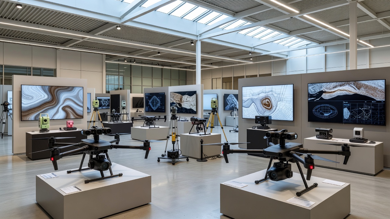
Exhibitors at INTERGEO 2026 presented high-performance drone LiDAR systems capable of collecting one million points per second at typical survey altitudes, a DRONELIFE report from the show floor noted. AI-driven analytics and reality-capturing technologies also featured prominently in conference sessions and live demonstrations. Fujairah representatives examined how these innovations could improve environmental monitoring, infrastructure tracking and sustainable development planning. The delegation’s engagement builds on the emirate’s earlier attendance at the Geospatial World Forum in Amsterdam in April 2026.
Fujairah has partnered with the Mohammed Bin Rashid Space Centre on remote sensing and satellite imagery projects to support environmental and infrastructure initiatives, a separate agreement announced earlier this year indicated. These collaborations complement the GIS center’s mandate to supply corrected aerial imagery and satellite data to government entities. Integration of geospatial information with digital services forms a foundation for data-driven governance, according to statements from center officials. The Munich visit is expected to inform future technology acquisitions and policy refinements within the emirate.